

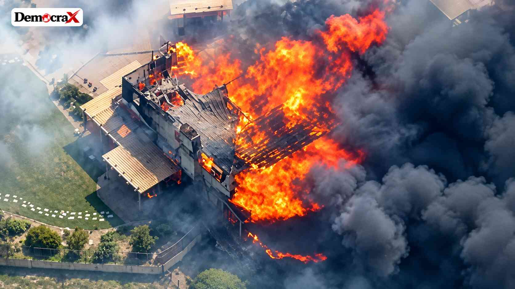
The Norte Fire in San Clemente spread rapidly across Orange County, California, on Friday, October 16, posing threat to homes and resulting in evacuations in the nearby San Juan Capistrano. The wildfire has grown to an approximate size of 465 acres and remained 0% contained as per the latest official update available for this report.
Santa Ana winds, dry brush and hot weather made things tough for firefighters fighting the wildfires.
Norte Fire San Clemente: Latest Containment and Damage
Firefighters first responded to reports of fire at around 11:30 a.m. in the vicinity of Portico Del Norte and Eminencia Del Norte in San Clemente. The wildfire has since spread to areas of San Juan Capistrano, including the Via La Mirada area, where several homes have been damaged or lost.
According to the CAL FIRE incident page, Norte Fire stood at 465 acres with 0% containment as per the October 16 evening update. Further, the cause of the fire is being investigated. Conditions in California may change quickly.
California Governor Gavin Newsom has also declared that federal assistance would be provided through the FEMA Fire Management Assistance Grant.
Norte Fire Map: Evacuation Zones and Shelters
Mandatory evacuations were declared for San Clemente Zones 12 and 13 and San Juan Capistrano Zones 4, 5 and 10 as per the latest official information. Individuals should refer to the Orange County Sheriff’s official Norte Fire page and the associated evacuation map as boundary and order information could be updated.
Reception and shelter support will be available at –
- San Clemente Community Center – 100 N. Calle Seville, San Clemente
- San Juan Capistrano Community Center – 25925 Camino del Avion, San Juan Capistrano
In addition, the fire information page provided by the City of San Clemente also contains evacuation information and the Norte Fire hotline number.
Santa Ana Winds Raise California Fire Risk
The Norte Fire has been taking place during a broader period of dangerous fire weather throughout Southern California. The combination of hot weather, low humidity and Santa Ana winds will allow embers from the flames to travel beyond fire lines, spreading flames to inhabited locations.
For the time being the main aim is to keep people safe and help the firefighters. Individuals living in evacuation zones should heed official orders and not rely on social media posts or unofficial fire maps.
Latest Status Update: The statistics provided above are based on the latest information available up to October 16, 2026. They are not based on the confirmed information from the following day. For more current information, see the CAL FIRE Norte Fire website.
Want to stay updated on the biggest stories shaping India and the world? Explore more on DemocraX

Related Stories
Deadly Attacks on Saudi Arabia: Riyadh Airport Hit Again, Death Toll Rises

Strait of Hormuz Open? Latest Iran Update, India Shipping Status and What Happens Next